Scientific programs


Structuring scientific programs
In order to deploy or consolidate long-term ecosystem monitoring networks on a global scale, the Vigilife Observatory is based on the development and implementation of scientific programs to structure cooperation between the various partners of the territories around a specific theme (rivers, marine areas and other programs to be announced). These programs are the result of a rigorous collaborative process based on a co-construction from the beginning of their design, between scientific research partners and stakeholders, such as companies, natural area managers, non gouvernemental organizations, or public institutions.
SCIENCE-BASED PROGRAMS FOR THE TERRITORIES.
The standardized eDNA methods used in the Vigilife programs have been tested on a large scale, notably during numerous scientific expeditions, and have been validated by over 50 scientific publications.
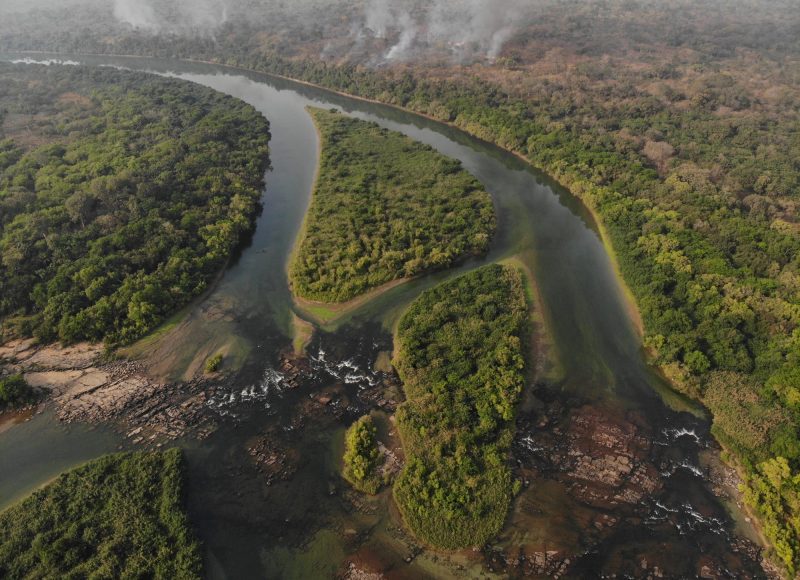
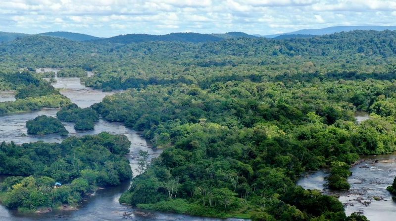
Sentinel rivers
Rivers have always been a force for the territories they flow through. They are crucial for the animal and plant species they host, for the essential ecological processes that take place there, and for the human populations that depend on them.
Freshwater is a rare habitat, covering less than 1% of the Earth’s surface, but home to more than 10% of known species. Freshwater fish account for a quarter of the world’s vertebrate species. Freshwater ecosystems are also the most threatened. Populations of freshwater vertebrates fell by 83% between 1970 and 2018.
The aim of the Sentinel Rivers program is to work with local stakeholders to set up long-term monitoring of river biodiversity in order to objectively document changes in living organisms in the face of growing anthropogenic pressures: pollution, overfishing, dams, land use and climate change. Our ambition is to inventory all living organisms, from bacteria to large mammals, along the entire length of the river, from source to mouth.
The rivers that have already been the subject of one or more complete inventory campaigns are the Maroni, the Loire, the Corubal and the Kunene. In 2015/2016, the Rhône was the subject of the first ADNe inventory of fish and bivalves from Lake Geneva to the sea, and from 2026 onwards, the aim is to undertake comprehensive monitoring of its biodiversity from its glacier to its delta in the Mediterranean: this is the Rhône Sentinel project. Other inventories are underway on the Danube, Okavango, Rio Magdalena and Mekong rivers.
To find out more about the 30 priority sentinel rivers, check out our magazine and our main scientific publications.
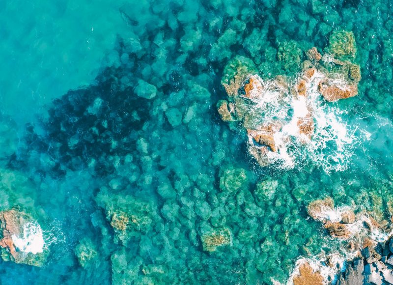
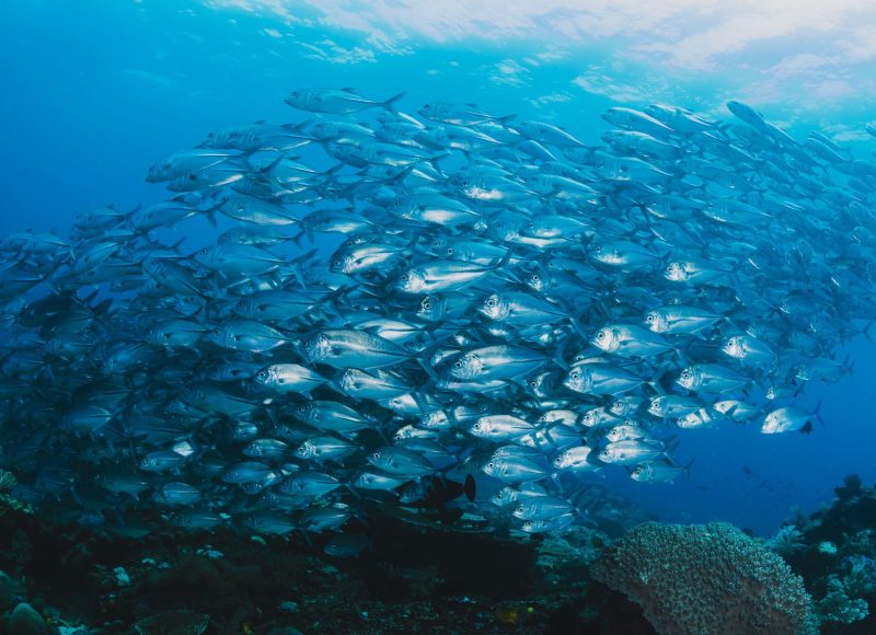
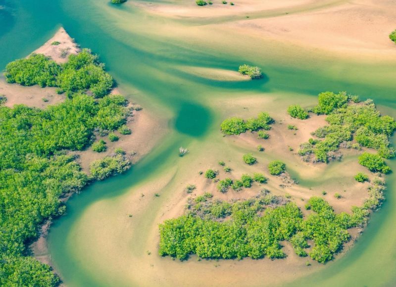
Sentinel Marine Areas
The degradation of coastal areas is one of the most serious crises facing biodiversity. Forty-four per cent of the world’s population lives within 150 km of the coast, where marine biodiversity is at its richest. Habitat destruction and pollution, overfishing, climate change and the introduction of non-native species are all threats to these coastal marine ecosystems. The Marine Sentinel Areas (MSA) programme aims to establish a permanent monitoring network for fish and crustacean biodiversity, inventoried using environmental DNA or eDNA. These AMS are located in particular within Marine Protected Areas and electricity production sites, such as offshore wind farms, in order to detect potential ecological shifts and the arrival of new species at an early stage. Thanks to the strong involvement of various partners, including EDF, the programme’s initiator and main financial supporter, nearly 15 AMS have been monitored along the French mainland coast since 2023. This AMS network is set to expand over the coming years, both in France and abroad.
![]()
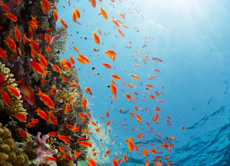
Biodiv Med project
In addition to this flagship programme, we actively support and participate in the Biodiv Med project, which provides regular monitoring of marine biodiversity along the Mediterranean coastline. A unique partnership between the Rhône Méditerranée Corse Water Agency, the University of Montpellier, SPYGEN, Andromède Océanologie, Vigilife, OceanoScientific and We are Méditerranée has enabled the first synchronised and standardised inventory of living organisms on the French Mediterranean coast and in the Pelagos sanctuary to be carried out in 2023. 700 eDNA samples were collected over 2,000 kilometres. An initial map of marine biodiversity was produced and shared on the MEDTRIX and Vigilife Maps platforms.
![]()
To learn more about the monitoring already carried out with these standardized eDNA methods in the Mediterranean sea, in the Indian, Pacific and Atlantic oceans, discover our magazine and our main scientific publications.
In order to share these methods with marine biodiversity stakeholders, in 2024 we published with our partners a practical guide, from data acquisition to interpretation.
Follow all the news related to these programs